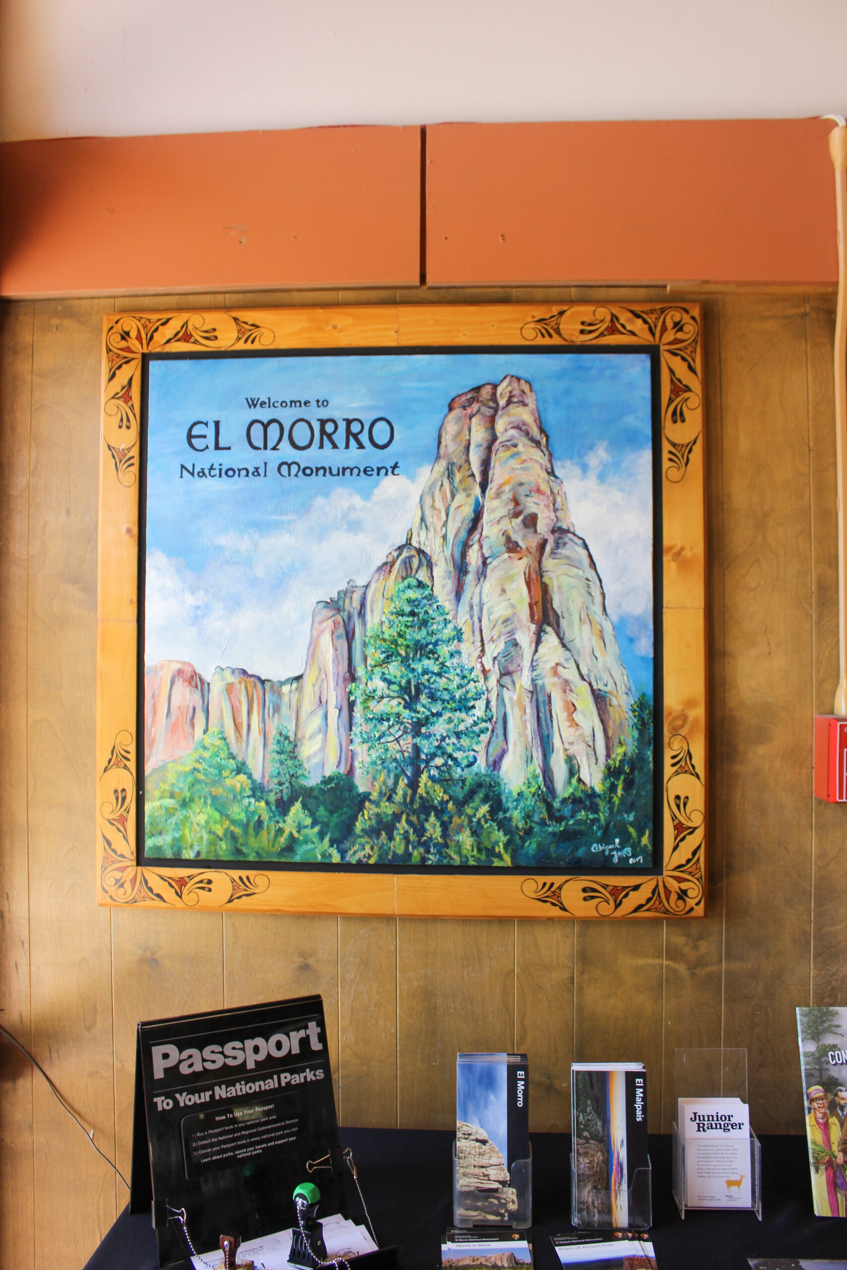
El Morro National Monument
We headed west from Albuquerque to hit our next two National Park Service sites. After a stop to hike at the Ice Caves, we continued down Highway 53 to explore El Morro National Monument. El Morro is the site of a natural reservoir and has been used as a water way station by humans for hundreds of years. Ancestral Pueblo, Spanish conquistadors, and American pioneers literally left their mark by carving their names and symbols in the rocks surrounding the reservoir. I really knew nothing about the site, and it exceeded my expectations. El Morro also served as a way station for the Army’s experimental use of camels instead of horses in the Southwest. The more you know.

Address and Location
You’ll find El Morro National Monument at Mile Marker 44.6 on New Mexico 53. It’s about a 40 minute drive southwest of Exit 81 on I-40. There isn’t a whole lot out there, so keep an eye out for the NPS entrance sign.

Cost
Exploring El Morro National Monument is free!

What to Do
The Visitor’s Center is small but mighty. You’ll find a museum with a variety of archaeological artifacts recovered over the years. This park also has a fantastic bookstore (seriously, one of the best at NPS sites in the whole state). If you plan to hike, check in with a staff member for a quick orientation. They’ll provide with some information about the different trails. You can also borrow an interpretive trail guide that details what you’ll see on the hikes. Definitely borrow a copy of the trail guide.

Inscription Rock
If you can only check out one part of El Morro, make it Inscription Rock. You’ll see petroglyphs that date back 800 to 1000 years, narratives from Spanish conquistadors and missionaries, and names of American pioneers and soldiers. It’s an amazing snapshot of the human experience in the area, and I was totally floored at how cool it was.


The trail guide provides some narrative along the path to the reservoir and for the main clusters of inscriptions. You will be stunned to see the level of detail and the clarity on petroglyphs and graffiti. You can clearly read what Spanish explorers and American soldiers carved into the rocks, including their names and dates. Some of the carvings feature including beautiful script and professional-looking lettering.


Keep in mind that stops 1-16 on the Inscription Trail guide are visible from the accessible trail. Sites 17-22 require you to climb a few sets of uneven and slick stairs. You are able to see some of those last inscriptions from the bottom of the stairs, but you won’t see all of them.


New Mexico National Park Service sites: Aztec Ruins National Monument | White Sands National Park | Fort Union National Monument | Pecos National Historic Park | Valles Caldera National Preserve | Los Alamos Manhattan Project National Historic Park | Bandelier National Monument | Carlsbad Caverns National Park | Gila Cliff Dwellings National Monument | Petroglyph National Monument | El Morro National Monument | El Malpais National Monument | Your guide to the New Mexico National Parks


