Chiricahua National Monument

Our second stop on our Arizona road trip was Chiricahua National Monument. I really knew nothing about Chiricahua, so I was interested to see what it had to offer.

Address and Location
You’ll find Chiricahua National Monument at 12856 East Rhyolite Creek Road in Willcox, Arizona.

If you drive from Fort Bowie National Historic Site, you’ll need about 25 minutes. Keep in mind that you will be on an unpaved road for almost 10 miles. I would recommend driving a car with good tires. You don’t need a SUV because the road is graded and pretty event, but I didn’t mind having my Jeep. You are also able to access the monument from standard paved roads.

Cost
Exploring Chiricahua National Monument is free. You can purchase camping passes for $20. America the Beautiful pass holders can buy camping passes for $10.

What to Do
To start, take in the views as you enter the park. The Visitor’s Center sits a few miles into the park, and the views on the drive in are fantastic. The park offers lots of hiking options, and you can pick your poison based on the length and intensity of the hike. Some of the trails also have better chances of spotting wildlife, though we went in the middle of a hot day.

We drove the whole Bonita Canyon Drive. It’s a bit steep and winding up the mountain, and you’ll see great views along the way. And be sure to stop at the pull-offs along the route. Of all the rock formations on Bonita Canyon Drive, the organ pipe formation was my favorite.

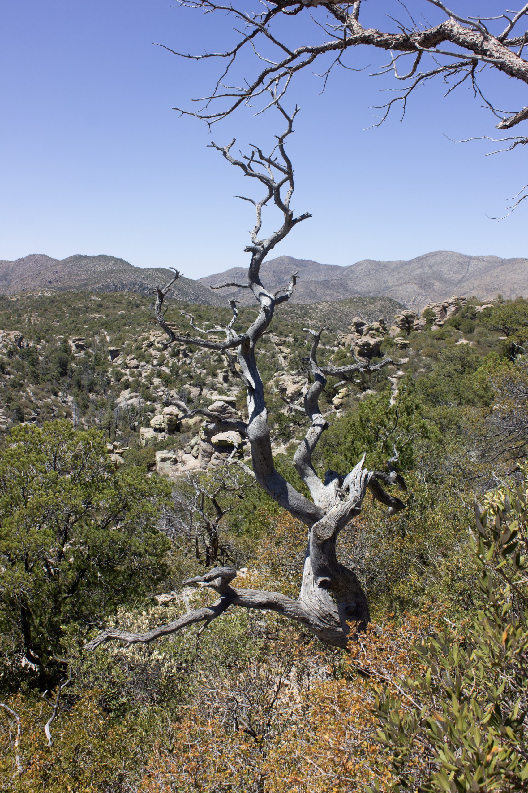
We opted to hike the Massai Point loop at the end of the scenic drive. This hike is about a half mile, but it has stunning views of Rhyolite Canyon. The path is narrow and rocky, and you can explore a few scenic overlooks. If you want to see Pinnacle Balanced Rock, Chiricahua’s most famous rock formation, keep in mind that you should plan to hike at least seven miles on the Heart of Rocks trail. We were a bit tired after our hike at Fort Bowie, so we decided to not hike the whole way.

Arizona National Park Service Sites: Fort Bowie National Historic Site |


